Stage 2 Archaeological Assessment


Stage 2 Archaeological Assessment
Two main strategies used during the Stage 2 Archaeological Assessment includes test pit survey and pedestrian survey.
All recently ploughed lands and lands where ploughing is viable must be subject to pedestrian survey. Once the lands area ploughed and allowed to weather providing ideal visibility a pedestrian survey is conducted at an interval of 5 meters between each transect. The soil surface is examined for the presence of any archaeological resources. A pedestrian survey is the preferred method.
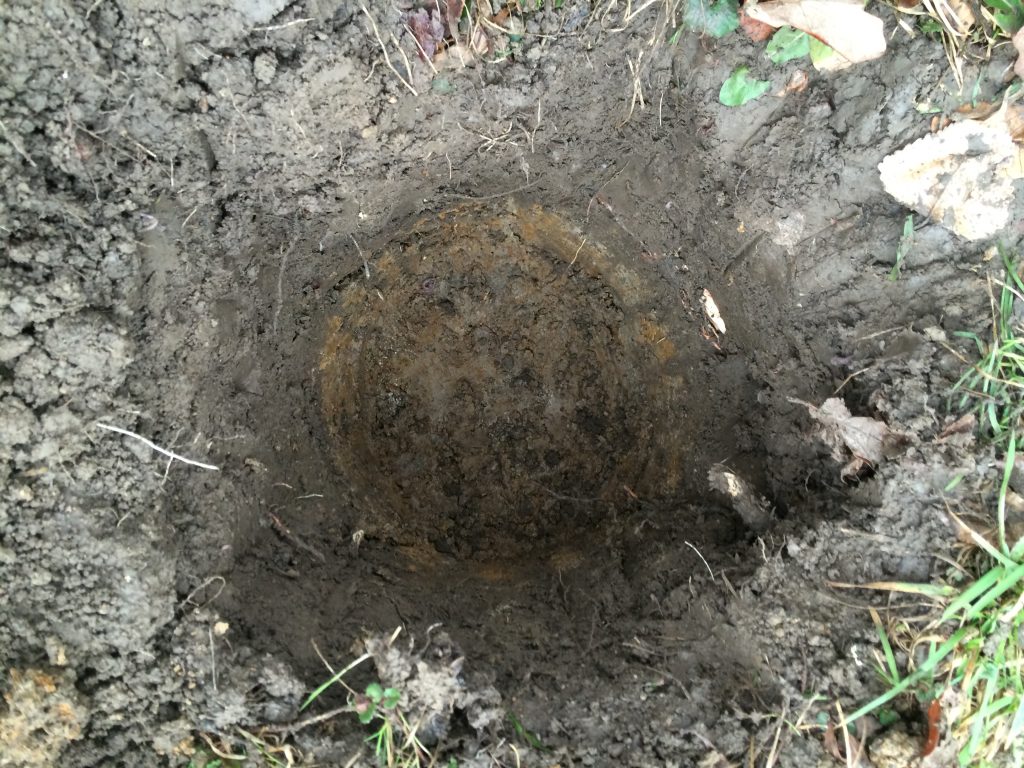
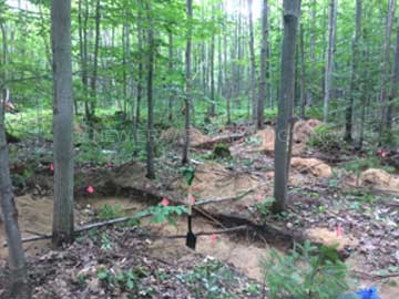
Test pit survey methodology is used when ploughing is not viable in areas such as wood lots and urban contexts. Test pits are dug by hand in a five meter grid (one every 5 meters across the entire unploughable area). Test pits are a minimum of 30 centimeters is diameter and at least 5 centimeters into the natural sterile subsoil. The profile of each test pit is examined to determine if there are any subsurface cultural features present or the extent of previous disturbance. All excavated soil is screened and examined for any archaeological resources. All test pits are back filled to grad as best as possible and sod replaced.
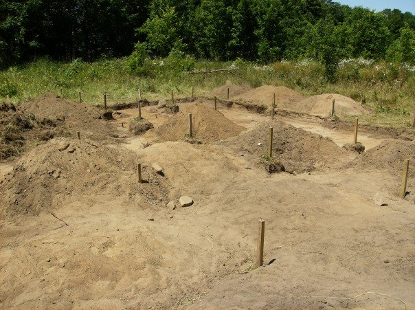
In cases where archaeological resources are found intervals of either pedestrian survey or test pit survey are reduced to gather additional information to aid in the determination of the recommendations. All recovered archaeological material is collected according to the Standards and Guidelines for Consultant Archaeologists and processed and analyzed to determine the cultural affiliations and assessment of the cultural heritage value or interest. This analysis along with a detailed background research make the basis for the recommendations.
In urban environments with a long use history a different approach may have to be developed, this is done on a case by case basis. Often structures are erected directly on top of previous structures. This results in the archaeological potential for deeply buried archaeological remains. The first step in determining the best approach is to gather a detailed land use history including maps, land registry, directories and geotechnical studies. This allows us to determine and pin point areas where archaeological potential remains and test them, often through mechanical trenching. Mechanical trenching allow us a clear look at the use history of the property and determine if any archaeological resources are present. Even those properties under asphalt may still retain archaeological potential.
A technical Stage 2 Archaeological Assessment report detailing the field work, results, analysis and recommendations for further work or no further work is produced and submitted to the Ministry of Heritage, Sport, Tourism and Culture Industries for review. A letter of concurrence is then issued.

Related Archaeological Assessments

Stage 1 Background Study

Stage 3 Site-specific Assessment


